
Our Engineered Process: Precision Land Clearing, Backed by Data.
At Bluegrass Brush Control, our proprietary process integrates cutting-edge aerial LiDAR terrain mapping with high-production mechanized clearing assets, redefining land reclamation. We provide a transparent, data-driven methodology that eliminates guesswork, ensuring your project is completed with unparalleled precision, environmental care, and a guaranteed fixed price.
Experience Unmatched Efficiency and Predictability from Start to Finish.

The Bluegrass Brush Control Advantage: Our Step-by-Step Approach
Our process begins with advanced aerial DJI drone LiDAR scans, creating a hyper-granular 3D terrain map of your property. This digital twin allows our experts to develop a precise, data-backed clearing plan, providing you with an accurate, fixed-price quote and avoiding hidden costs. Next, our team deploys state-of-the-art, high-horsepower machinery, including the next-generation 134-HP Caterpillar 275 XE high-flow track loader paired with advanced depth-control forestry mulching attachments. This technology enables efficient, surgical removal of dense vegetation, transforming your land while meticulously preserving pristine topsoil and mitigating environmental impact. The result is a site prepared to exact specifications, ready for your next phase of development without the destruction, topsoil loss, or high burn-pile liabilities associated with traditional methods.
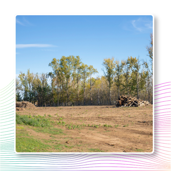
Our Data-Driven Clearing Process
Precision survey data leads directly to superior on-site efficiency.
High-resolution aerial scanning of boundaries, density, and ground contours.
Strategic route planning to maximize equipment output and cut time.
High-horsepower mechanical mulching without topsoil displacement or erosion.
Final quality walk-through to ensure clean, usable land surfaces.
Ready to Optimize Your Land Development?
Leverage our advanced LiDAR mapping and mechanized assets for precise, fixed-price land development. Get your tailored quote today.